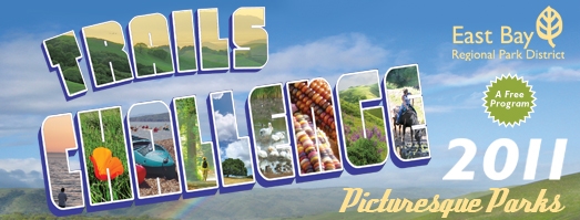
The Trails of the 2011 Challenge
Below you can download trail information for the Regional Parks/Trails featured in this year's Challenge. Before heading out on these trails, please read the Important Tips section.
The parks were chosen for their distinct features and we encourage people to discover what each park has to offer. The majority of the routes featured are “easy” with routes leading to a picturesque destination; in addition, each park description has added information on the park features to encourage participants to keep exploring the parks. There are still moderate and difficult routes featured, but please keep in mind any trail route can be used to complete the challenge. A Google Maps interface that provides the trail routes overlaid onto Google Maps will continue to be available for 2011. Not only can you get a satellite imagery of the routes provided, you can get precise driving directions and 3D imagery using Google Earth. We will be adding photos and comments to routes featured on Google Maps throughout the year. Click here to see Trails Challenge routes on Google Maps.
Please note that we do not manage, run, or control the Google Mapping Web site in any way, and inconsistencies with street/trail names do occur from time to time.